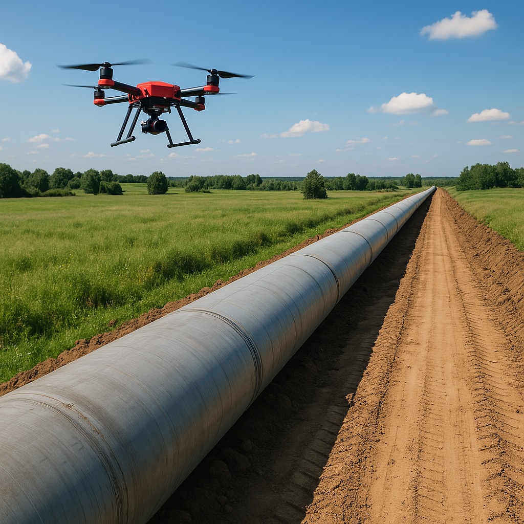
Explore professional drone services for surveying, mapping, aerial inspections, 3D modeling, and progress monitoring. Get high-resolution drone data for precise results.
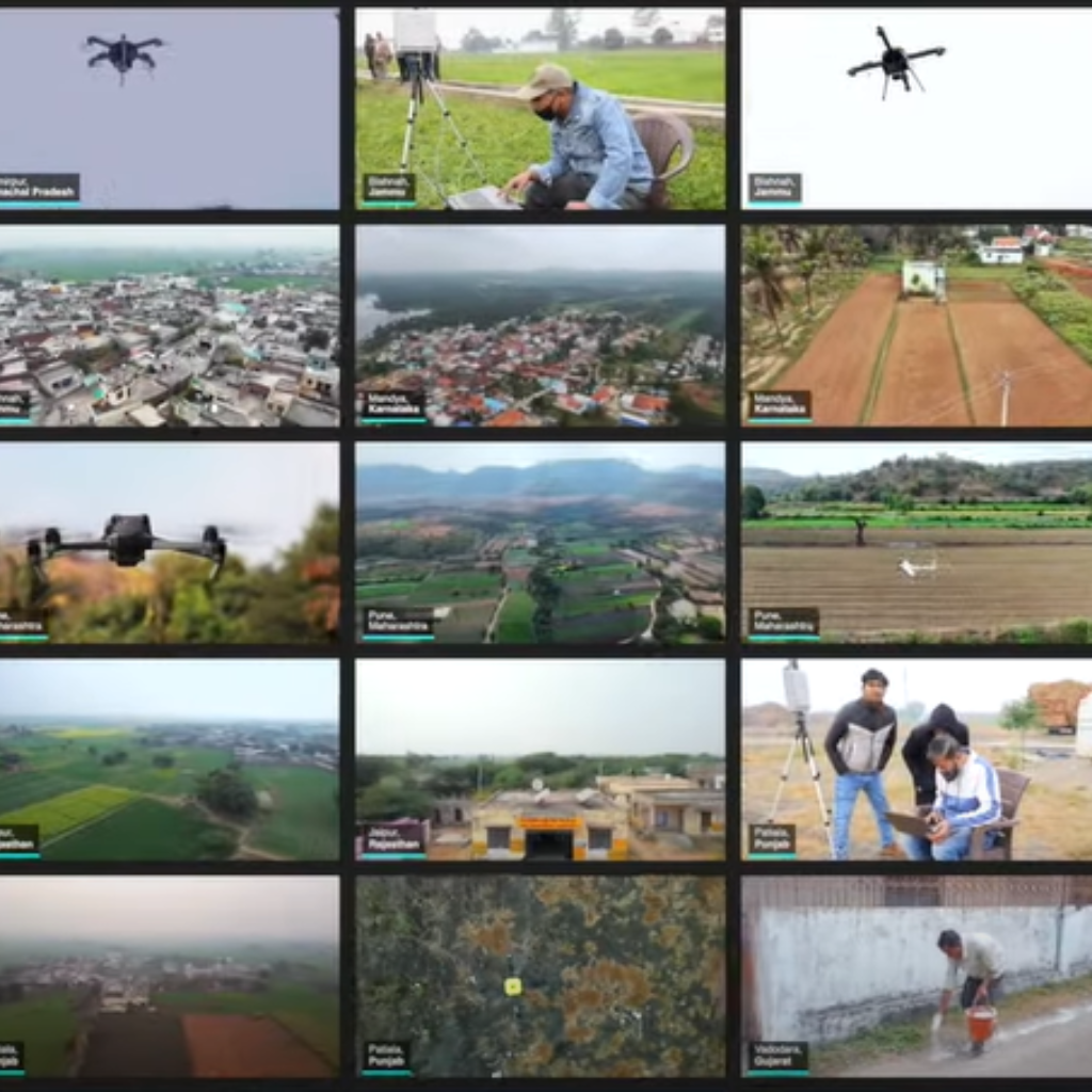
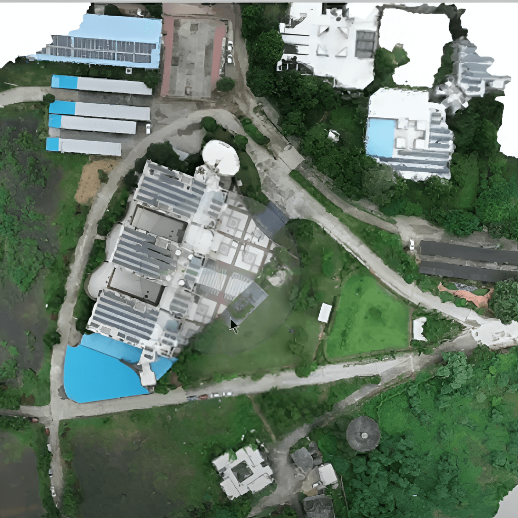
Drone Surveying Projects
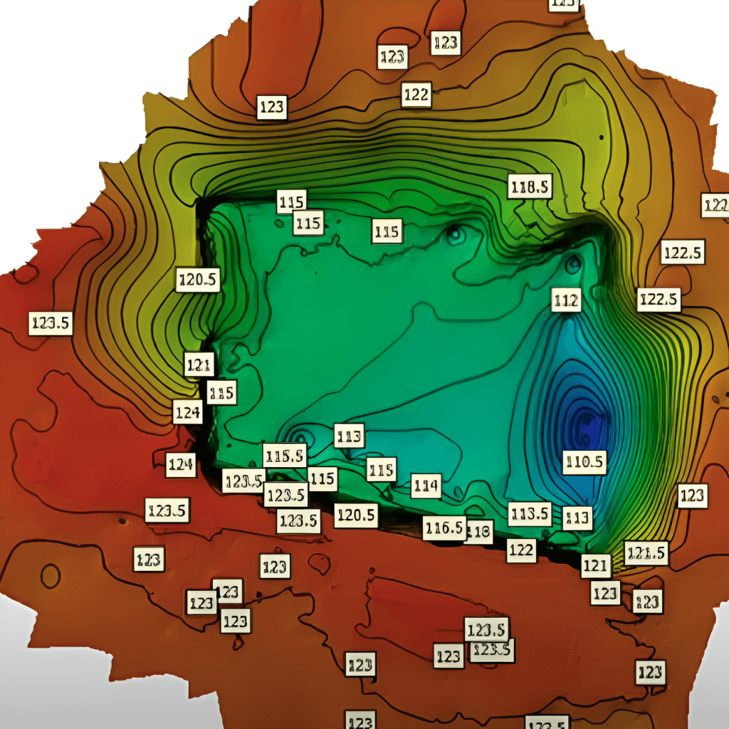
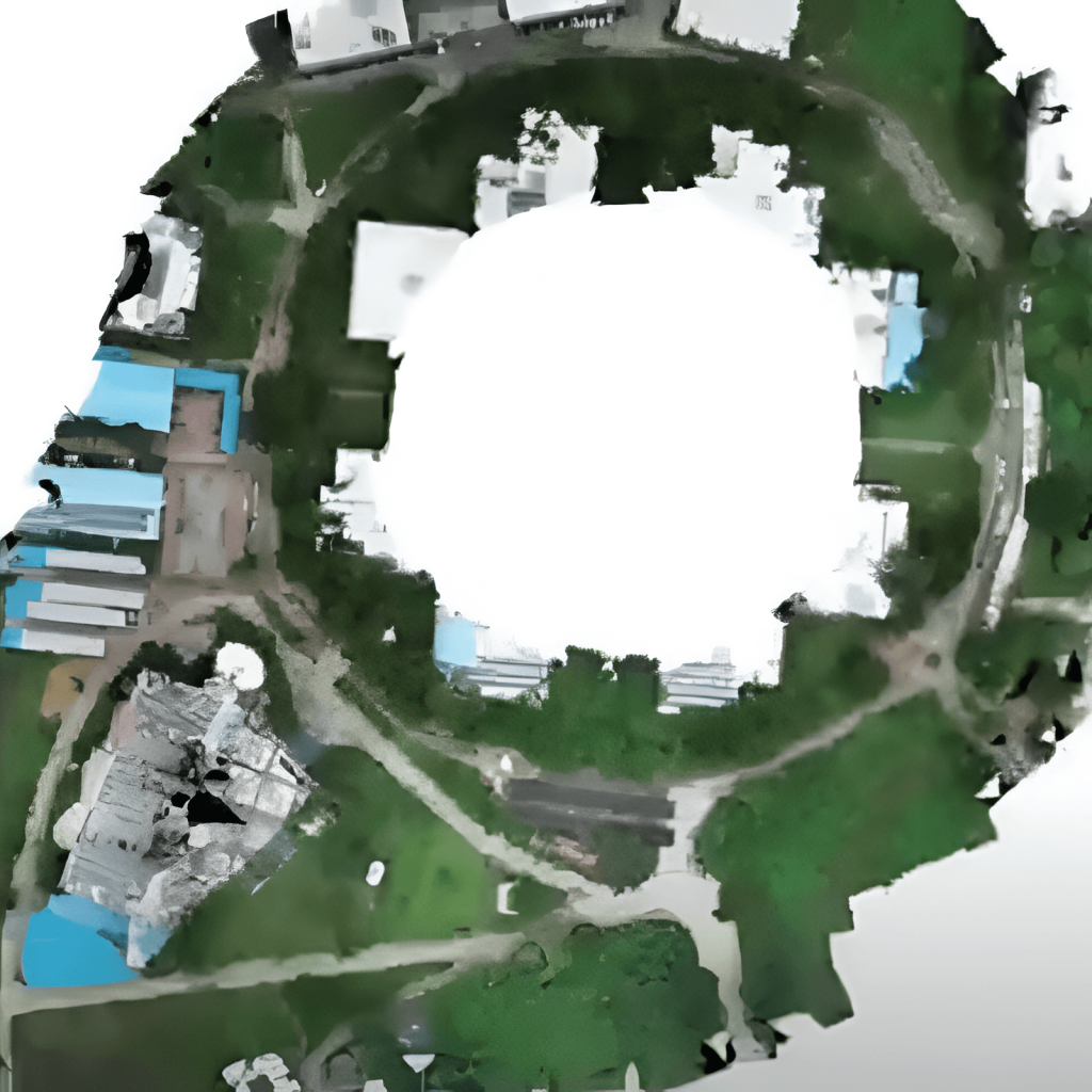
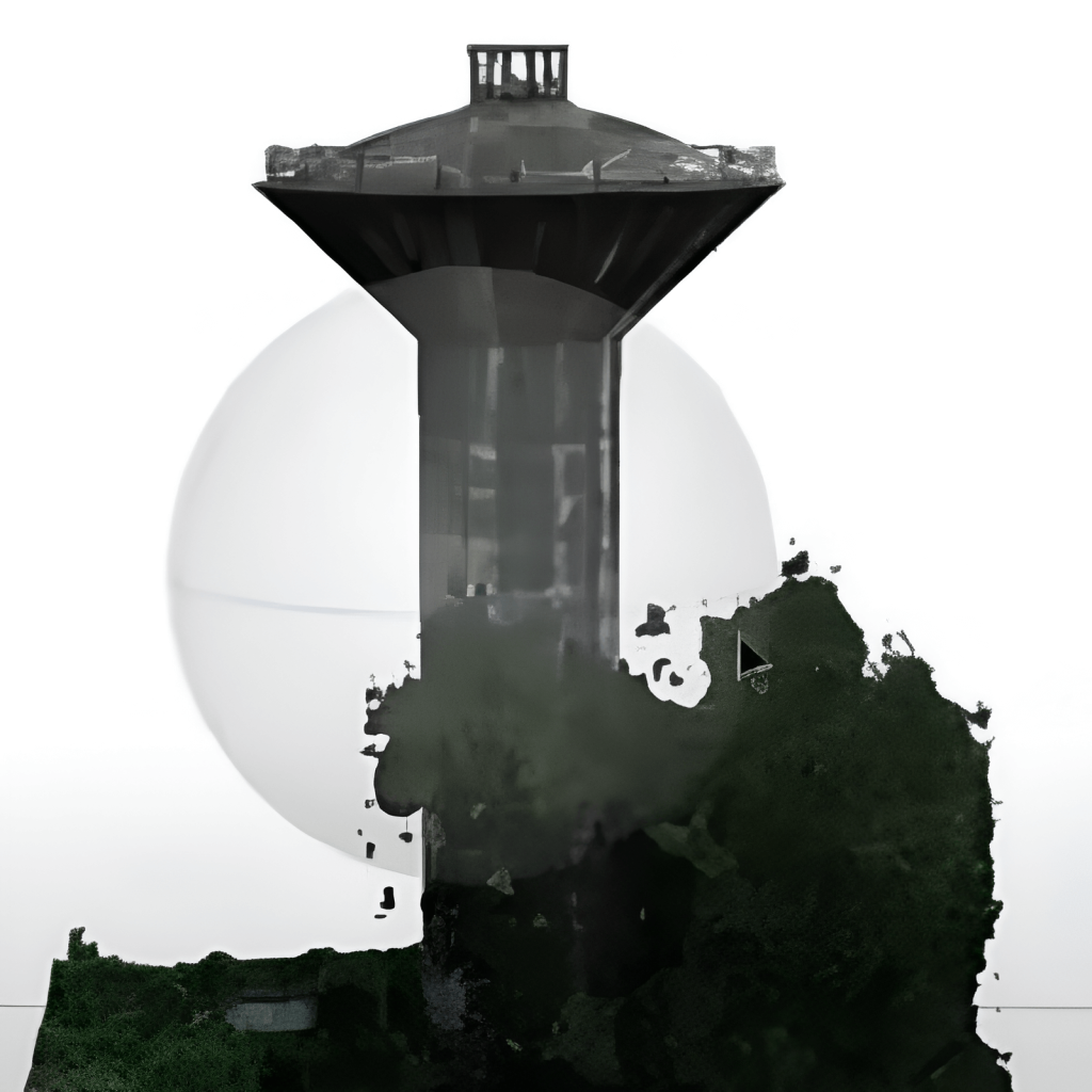
Offering advanced drone surveying, volumetric analysis, and BIM services tailored for diverse industries—from construction to energy, agriculture, and infrastructure development.