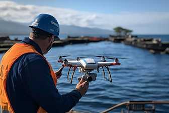
We use advanced UAV technology to provide aerial mapping, 3D modeling, and precision inspections. Transforming industries with innovative drone solutions.
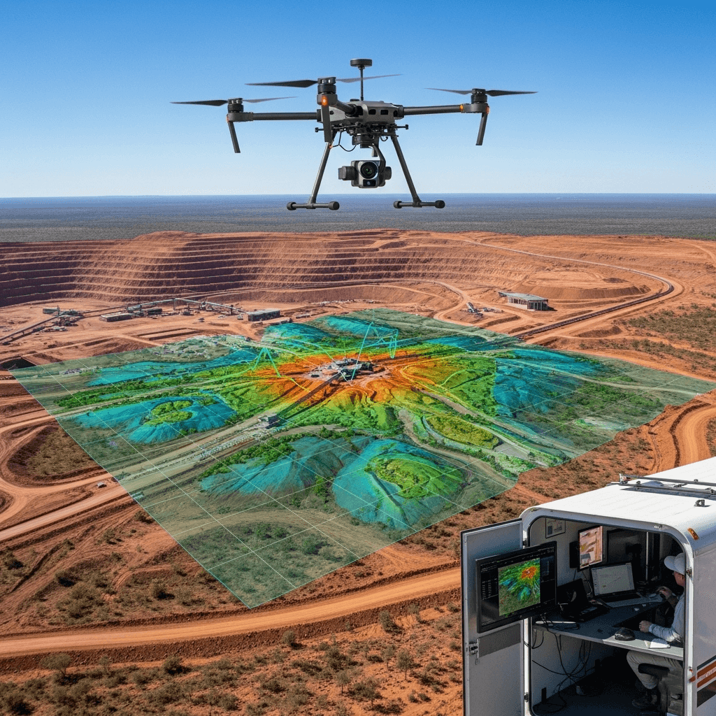
01. Mining
Stockpile Measurements
Area Survey (Area of Mining)
Real-time Site Monitoring
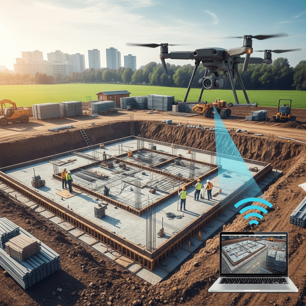
02. Constrution
Progress Tracking
3D Site Mapping
Material Stock Monitoring
Structural Safety Inspections
High-Altitude Documentation
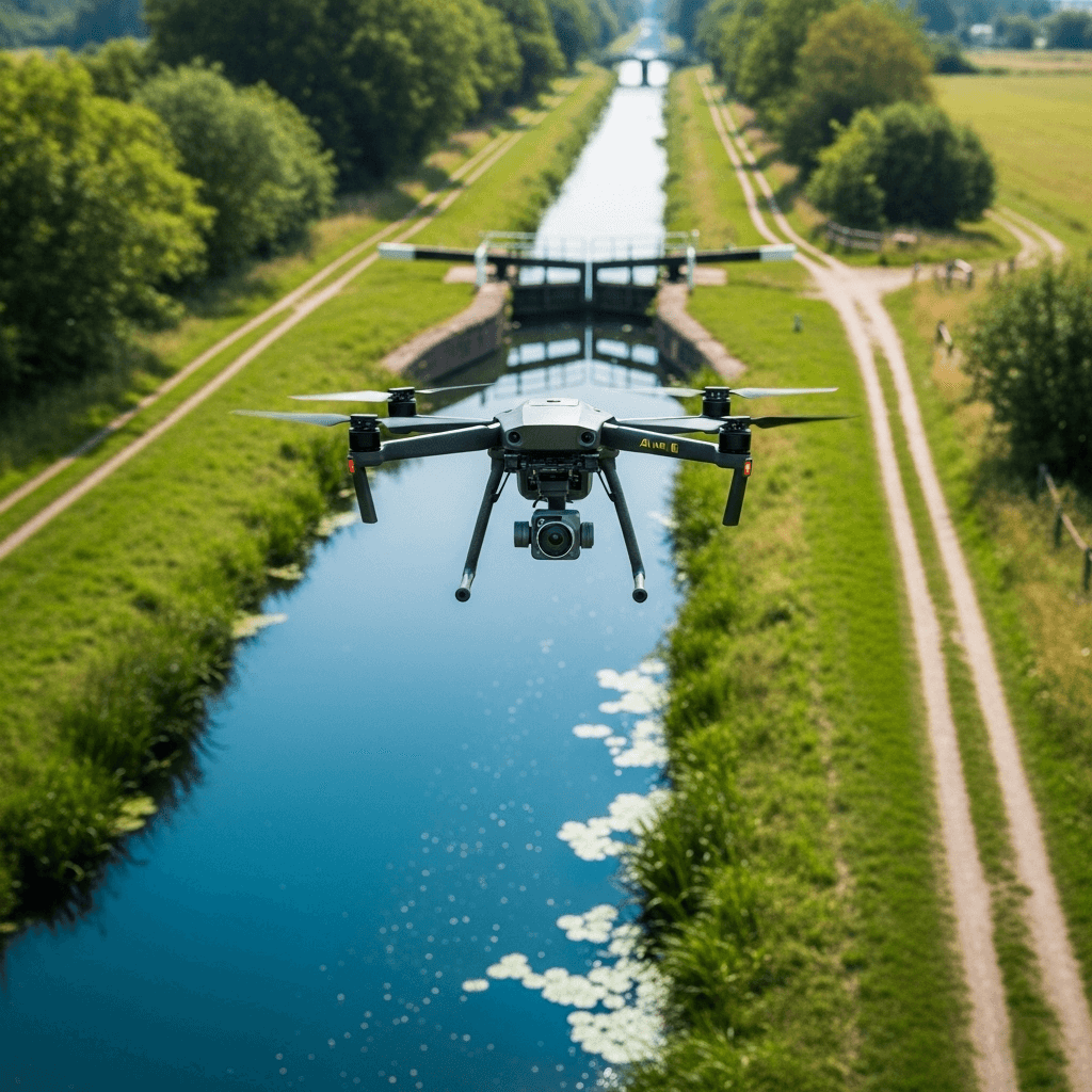
03. Canal Survey/ River Area Survey
Detailed Project Report (DPR)
Cut & Fill Analysis
Orthomosaic Map
3D Model
Survey for Designing
Operation & Maintenance
Damage/ Crack Detection
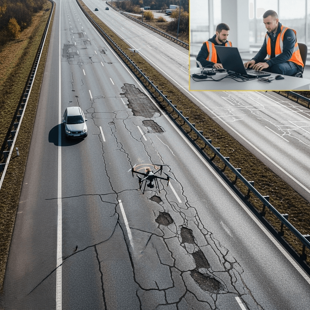
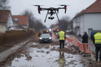
04. Road Survey
Detailed Project Report (DPR)
Cut & Fill Analysis
Orthomosaic Map
3D Model
Survey for Designing
Operation & Maintenance
Damage/ Crack Detection
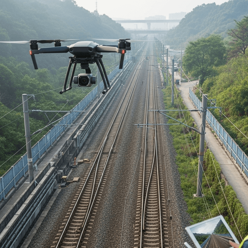
05. Rail Survey/ Metro Survey
Detailed Project Report (DPR)
Cut & Fill Analysis
Orthomosaic Map
3D Model
Survey for Designing
Operation & Maintenance
Damage/ Crack Detection
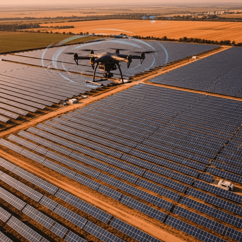
06. Solar Plant Survey
Detailed Project Report (DPR)
Survey for Designing
Operation & Maintenance
Damage/ Crack Detection
Thermal Inspection
07. Real Estate Survey
Aerial Property Showcases
360° Virtual Tours
High-Impact Visuals
Neighborhood View Insights
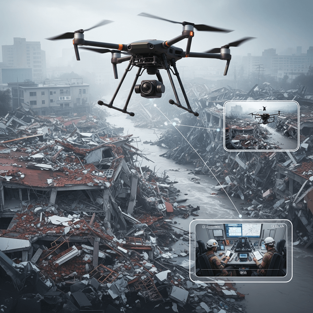
08. Disaster Management
Disaster Preparation
Disaster Response
Disaster Recovery
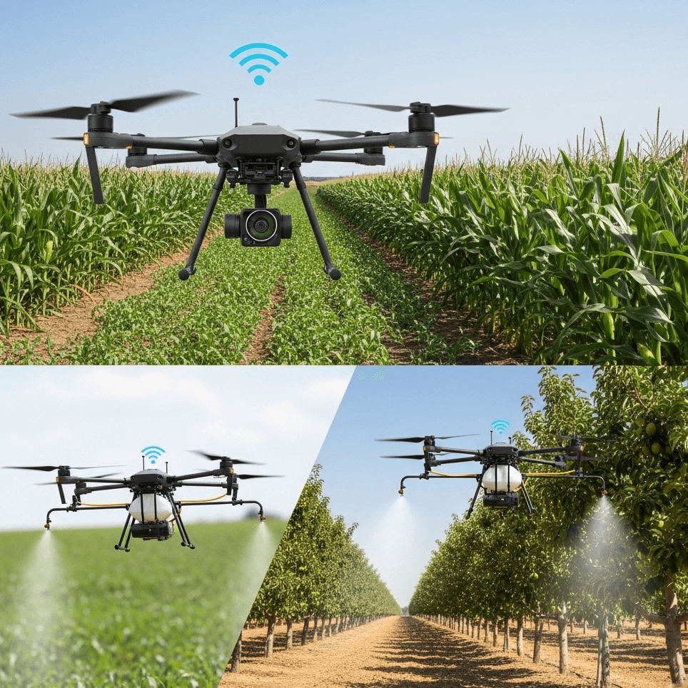
09. Agricultural Survey with Multi Spectral Camera
Crop Health Analysis
Yield Optimization
Precision Spraying
Precision Farming (Soil Condition)
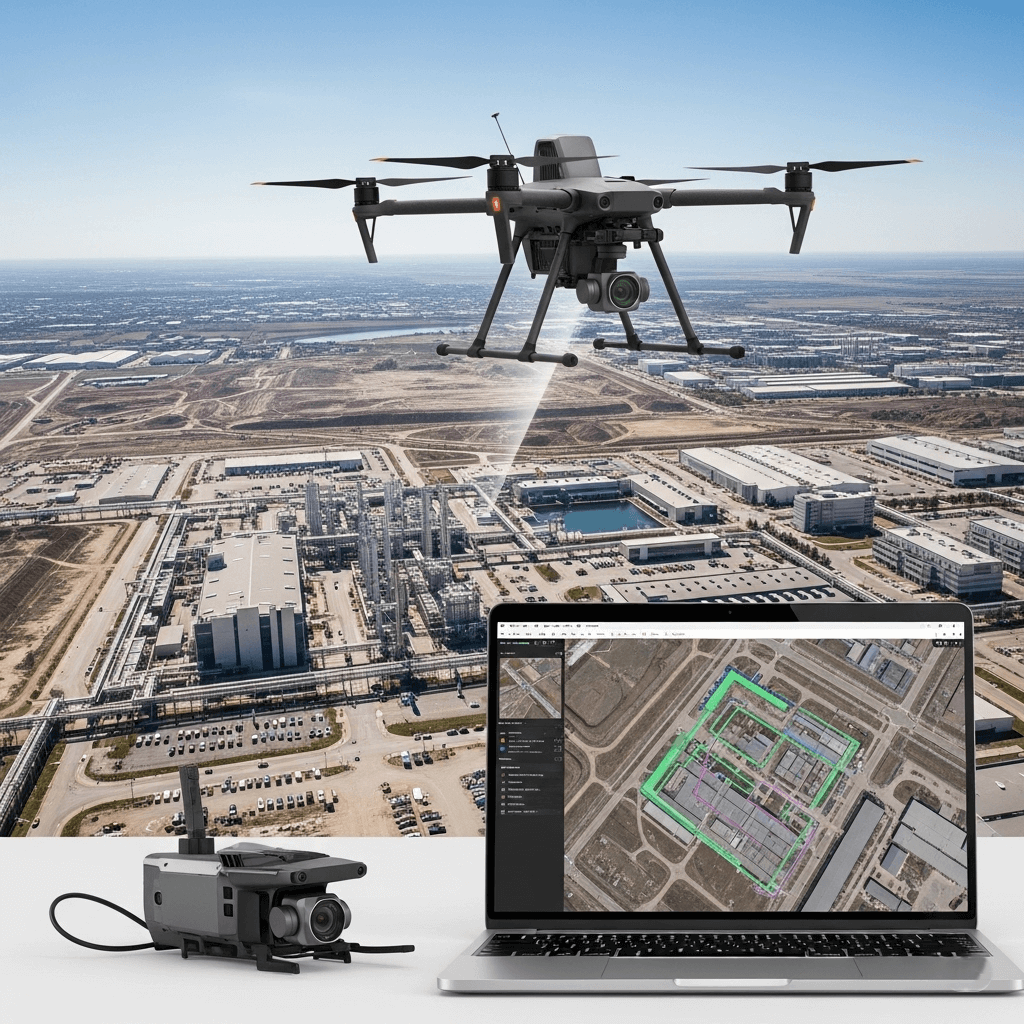
10. Asset Mapping and Modeling
3D Modeling (Digital Twin)
Infrastructure Monitoring
Disaster Resilience with Geospatial Insights
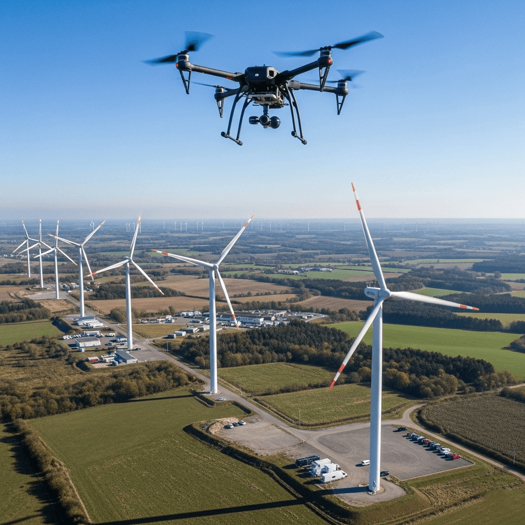
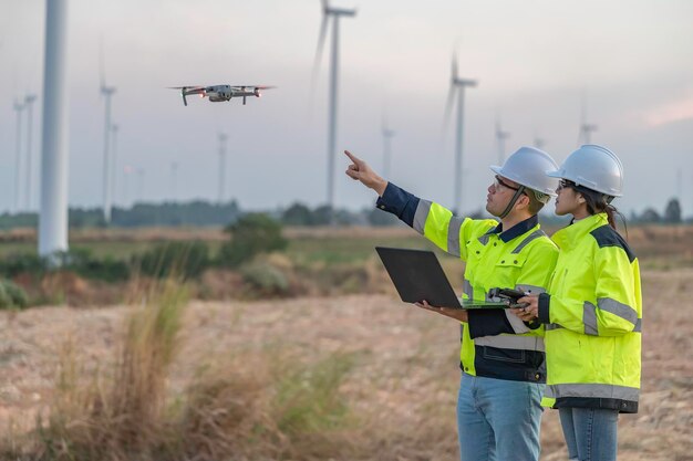
11. Wind Turbine Power Plant
Detailed Project Report (DPR)
Survey for Designing
Operation & Maintenance
Damage/ Crack Detection
Thermal Inspection
04. Road survey:
Detailed Project Report (DPR)
Cut & Fill Analysis
Ortho Mosaic Map
3D Model
Survey for Designing
Operation & Maintenance
Damage/ Crack Detection
05. Rail survey/ Metro Survey
Detailed Project Report (DPR)
Cut & Fill Analysis
Ortho Mosaic Map
3D Model
Survey for Designing
Operation & Maintenance
Damage/ Crack Detection
06. Solar Plant Survey
Detailed Project Report (DPR)
Survey for Designing
Operation & Maintenance
Damage/ Crack Detection
Thermal Inspection
07. Canal survey/ River Area Survey
Detailed Project Report (DPR)
Cut & Fill Analysis
Ortho Mosaic Map
3D Model
Survey for Designing
Operation & Maintenance
Damage/ Crack Detection
08. Disaster Management
Instead of Disaster preparation use Disaster management
Description:
Disaster Preparation
Disaster Response
Disaster Recovery
09. Agricultural survey with mul spectral camera
Advanced drone surveys with multispectral cameras for crop health analysis, precision farming, and yield optimization.
10. Asset Mapping and modelling
Precision drone mapping for 3D modeling, infrastructure monitoring, and disaster resilience with real-time geospatial insights.